
Wisconsin ZIP Prefix Coverage
The Wisconsin ZIP code pattern runs through the 530xx to 549xx three-digit prefix families. These ranges are broad postal-routing clues, not a roster of five-digit codes or a precise map. The research found no current official Wisconsin-only five-digit ZIP and post-office export suitable for a fixed statewide table. For that reason, this ZIP code directory lists prefix geography only. Use the USPS lookup for the exact address and accepted last line.
| Prefix family | Broad Wisconsin area | Post office clues | Boundary note |
|---|---|---|---|
| 530xx-532xx | Southeastern Wisconsin, Milwaukee metro, lake shore, and nearby communities | Milwaukee-area offices and stations | City and county borders do not define delivery areas |
| 533xx-535xx | South-central Wisconsin, Madison and Dane County area, plus nearby counties | Madison and surrounding post-office names; rural and PO Box patterns vary | Use the local assessor for a parcel and USPS for the mail line |
| 536xx-539xx | Southwest and west-central Wisconsin | La Crosse, Platteville, Prairie du Chien, and other regional delivery offices | River, county, and municipal boundaries may differ |
| 540xx-548xx | Western, northwestern, north-central, and central Wisconsin | St. Croix/Hudson, Eau Claire, Wausau-area, and central offices | Some delivery areas cross local borders or are noncontiguous |
| 549xx | Fox Valley and northeast-central Wisconsin | Appleton, Neenah, Menasha, Oshkosh, and Green Bay-adjacent areas | Use the exact street address, not the city name alone |
| 541xx-549xx overlap | Northeast Wisconsin, Door County, Green Bay, and Fox Valley region | Prefix families overlap in this broad routing description | These are not county lines or one-to-one town assignments |
| 545xx-549xx northern range | Northwoods and northeast delivery areas | Rural, seasonal, town-name, and PO Box patterns appear | Verify each exact address; a town name can be a postal label |
The prefix ranges overlap by design in this summary. They group broad areas from the research and should not be read as a complete statewide map or as evidence that one post office serves every community in a row. A Wisconsin ZIP can cross a municipality, include rural delivery, use a PO Box-only facility, or serve a single institution or corporate destination. USPS's live lookup is the route for a current five-digit result.
Note: Prefix groups show broad Wisconsin routing geography; only the current USPS address lookup can verify a specific five-digit assignment.
Find Wisconsin Residents by ZIP
A Wisconsin ZIP search works only where the form supports one. Wisconsin assessor systems are local: some can filter or display ZIP, while the V12 parcel schema includes an owner ZIP and may have no site ZIP for many counties. MyVote accepts ZIP as part of a full address lookup, which returns election-location details rather than a list of all registered people. DSPS offers a direct partial-ZIP filter. The right first step depends on whether the question concerns a parcel, an individual credential, or an election location.
- Check the street address in USPS ZIP Code Lookup and note the current accepted city, state, and ZIP.
- Choose the Wisconsin county or municipality, then search its assessor or land-information site by address, parcel, owner, or ZIP if that local form offers a ZIP filter.
- Use DSPS's advanced license search only when a credential lookup fits the question; its ZIP field accepts five digits or a partial code.
- For polling and ballot details, enter the full street address, unit, city, and ZIP in MyVote's address lookup in Wisconsin. Do not treat its result as a voter list.
- If allowed voter registration fields are needed, send a written request to the Wisconsin Elections Commission or Wisconsin local clerk and follow the fee and redaction rules.
- Once a ZIP search points to a street or parcel, continue with the Wisconsin street directory method and confirm the land record with its local custodian.
For a Wisconsin address, keep the exact address, local jurisdiction, and date beside the result. A person may have an owner mailing address in a different ZIP from the land, and an older search can reflect an earlier registration or property record.
Wisconsin Postal Names and Local Jurisdictions
USPS designs ZIP Codes for sorting and delivering mail, not for drawing legal city limits. A city name on the last line can serve an address beyond the city boundary, and one postal area can cross municipalities or counties. Madison's postal address, for example, does not by itself prove that a parcel lies inside Madison. Confirm jurisdiction with Wisconsin county or municipal GIS and the assessor, then use USPS to verify the delivery address.
In Wisconsin, this distinction matters when a record system asks for a municipality or county. A Madison postal name may route to a surrounding town's local government. The Wisconsin Statewide Parcel Map can help locate the parcel, but the local assessor is the source for current assessment details. Do not substitute a post-office label for a legal description or tax district.
ZIP Search Fields in Wisconsin
Portal fields reveal what a ZIP filter can actually do. The Wisconsin statewide parcel layer preserves owner postal ZIP data, but the earlier project found that many Wisconsin counties did not maintain ZIP values for site addresses. DOR property and sales search modes use county, municipality, receipt or document number, conveyance date, and property address; ZIP is not guaranteed as a main search key.
| Wisconsin search | ZIP field or mode | What the result means | Other route |
|---|---|---|---|
| DSPS Trades Credential/License Advanced Search | ZIP, “5 digits or partial” | Filters license or credential records by area; categories and data refresh can change | Use the DSPS board or official verification path for a credential question |
| Wisconsin MyVote address search | Street address, unit, city, and ZIP | Finds polling place, ballot content, election, and absentee details for a specific location | For permitted public registration fields, write to WEC or a county/municipal clerk |
| Wisconsin local assessor / county GIS | ZIP filter or display only where locally offered | Parcel card may show owner ZIP; site ZIP can be absent or stale | Search by street address or parcel and contact the Wisconsin local assessor |
| Wisconsin DOR property / transfer search | ZIP not guaranteed as a primary field | Search uses county, municipality, receipt/document number, conveyance date, or property address | Use the local tax or assessor office for parcel-level follow-up |
| USPS address lookup | Full delivery address or city and state | Returns current postal city and ZIP assignment for the entered location | Use the USPS PostalPro product when a maintained assignment file is needed |
Wisconsin's official registration list is open for inspection under Wis. Stat. §6.36(1)(b)1, with protected fields withheld. Wis. Admin. Code EL 3.50 sets the report charges: a $25 electronic base charge, plus $5 for the first 1,000 records and each added 1,000, up to $12,500; paper copies cost 25 cents per page plus postage. Ask the Wisconsin Elections Commission or local election custodian for current written-request instructions and redactions; a Wisconsin local clerk can arrange inspection during office hours. MyVote remains an individual check or address-to-election lookup, not a ZIP-wide voter roll.
Wisconsin DOR's assessor directory routes users to local municipal assessors; it is not a statewide resident or ZIP search. The Wisconsin Statewide Parcel Map can show an owner ZIP in submitted fields, though the site ZIP may be absent. Wisconsin county and city systems may offer a phone, counter, or public-records request when a web form lacks the needed field. For an individual property, start with its street address or parcel number rather than assuming the postal code can find every record.
Note: ZIP filtering is portal-specific, so check each form's field label before treating a missing match as no record.
Wisconsin ZIP Codes and Census ZCTAs
A Census ZIP Code Tabulation Area, or ZCTA, is a statistical polygon built from census blocks to approximate ZIP geography. It is not an official USPS delivery boundary and does not represent every valid ZIP. ZCTAs can be noncontiguous or contain enclaves, and the 2020 codes reflected USPS ZIPs current as of January 1, 2020. Use them for comparable population statistics, not as a current statewide postal directory for Wisconsin.
The Census Bureau's ZIP Code and ZCTA explanation sets out why the two geographies differ.
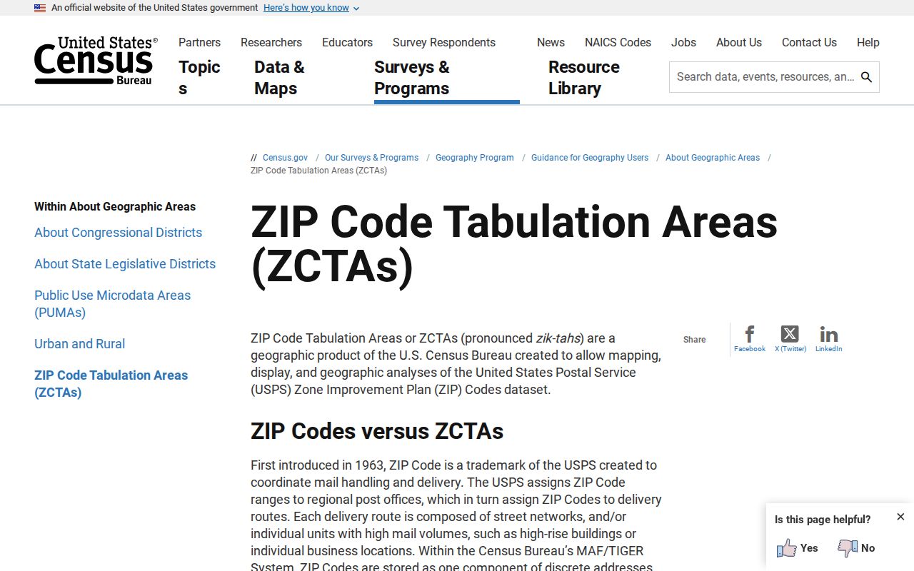
For a Wisconsin resident search, first use a current USPS result for delivery, then use the relevant local record system for its own geography. A ZCTA map can help compare broad population patterns but should be labeled as a statistical area.
Note: A Census ZCTA and a USPS delivery area answer different questions; keep the source year attached to statistical comparisons.
Wisconsin ZIP, Situs, and Mailing Fields
Four place labels can appear around one Wisconsin parcel. The physical parcel location is the situs or site address. The owner's mailing address tells where tax correspondence goes. The USPS last line gives the delivery locality and ZIP. The legal description identifies the land by subdivision lot and block, township-range, or another recorded description. They can point to different places without any field being an error.
The Wisconsin statewide parcel schema calls the physical location SITEADDRESS and owner mail PSTLADDRESS. A tax-mail destination can be a post office box, bank, attorney, or prior address. A Wisconsin ZIP shown beside the owner is not necessarily the site's ZIP, and it does not make the owner's mailing address a location where the person lives.
When fields disagree, record each label and its source rather than forcing one to stand in for the others. The Wisconsin assessor confirms the parcel and tax roll, the recorded deed supplies the legal description, local GIS helps identify the jurisdiction, and USPS confirms present delivery. A ZIP is useful for sorting a search but weaker than a parcel ID for linking property records.
Wisconsin ZIPs in Rural Areas
Wisconsin's 72 counties cover cities and villages, towns, tribal nations, unincorporated places, and rural delivery routes. Northwoods and western Wisconsin communities may rely on a post-office town name, seasonal delivery, or a PO Box pattern. Fox Valley ZIP labels can span nearby communities along the same regional corridor. A named locality does not by itself identify the county or municipality that keeps a property file.
The statewide parcel map aggregates submissions from across Wisconsin, but some small areas lack digital parcel coverage and a local tax roll may be newer. If the public map cannot find a rural address, contact the Wisconsin county land-information office or municipal assessor and provide the legal description or parcel key if known. For a postal question, check the precise delivery address with USPS instead of choosing a town from a regional prefix.
These Wisconsin local differences also affect name research: a person can appear under the county where a record was filed, the town where the property sits, or the post office used for mail. Keep the source jurisdiction with each result.
Where Wisconsin ZIPs Cross City Lines
For Wisconsin mail, a ZIP code is a postal delivery code. ZIP+4 adds four digits to narrow a delivery segment when USPS assigns them. A PO Box-only ZIP serves post-office boxes rather than ordinary street delivery. A unique ZIP may serve one institution or corporate destination. A carrier route groups addresses for a mail carrier and is not a municipal district.
Wisconsin city, town, and county boundaries should be checked in Wisconsin local government maps or parcel records. Wisconsin ZIP geography can cross those borders, and some post-office areas are noncontiguous. The Madison, Milwaukee, and Northwoods examples all illustrate why a postal label alone cannot determine which office holds an address record.
- ZIP Code
- A USPS code used to route mail to a delivery area or destination.
- ZIP+4
- An added four digits that narrow a delivery point within a ZIP when assigned.
- PO Box-only ZIP
- A code for a post-office box facility rather than ordinary street delivery.
- Unique ZIP
- A code assigned to one institution, business, or other single destination.
- Carrier route
- A postal delivery grouping that organizes a carrier's route, not a city boundary.
Current Wisconsin ZIP List by Date
The research did not find a static official Wisconsin-only export of every current five-digit ZIP and post-office pairing. The USPS live lookup checks a current address, while a dated official assignment file and Census ZCTAs serve different purposes. A complete printed Wisconsin ZIP code directory needs its source file and retrieval date so later readers can tell which assignments it reflects.
Do not fill that gap with made-up five-digit examples or infer an exact town list from the prefix table. Use USPS to check a user-supplied address, record the lookup date, and ask the local Wisconsin assessor or county GIS office about the parcel. For Wisconsin-wide statistics, cite a ZCTA as a ZCTA and retain its census vintage.
After a Wisconsin postal area narrows the search, the remaining work is local: select the correct county or municipality, identify the parcel or election district, and check the record with its custodian. That sequence keeps mailing geography separate from public record geography.